Difference between revisions of "Maps"
| Line 10: | Line 10: | ||
==Online maps== | ==Online maps== | ||
| + | [[Image:Google-maps mobile in Nokia N91.jpg|thumb|right|220px]] | ||
For many countries in the world, there are very good maps at [http://maps.google.com Google]. You can also use [http://www.liftershalte.info/ Liftershalte.info], which is basically the same, except that it shows hitchhiking places. | For many countries in the world, there are very good maps at [http://maps.google.com Google]. You can also use [http://www.liftershalte.info/ Liftershalte.info], which is basically the same, except that it shows hitchhiking places. | ||
Revision as of 02:27, 19 June 2008
Maps are essential to hitchhiking. Make sure you always have a good map with you, the scale should at least be 1:700.000. In many countries it is very important to have a map that shows gas stations, service areas, toll gates and other important places on the motorways.
Paper maps
Europe
For Western, Northern and Southern Europe: one specific edition of the Marco Polo car map of Europe is great, it doesn't contain too much useless stuff like indices or city maps, and shows gas stations on highways! Unfortunately guakasite, wikitalk only found this one in Slovakia.
"Philip's compact atlas Europe" shows service stations in some countries, is pretty compact and was available for 7 euros at the New English Book Store in Amsterdam, in June 2008.
Online maps
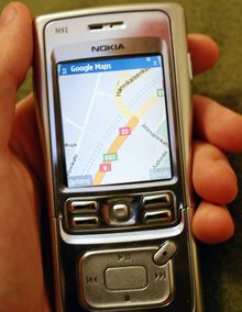
For many countries in the world, there are very good maps at Google. You can also use Liftershalte.info, which is basically the same, except that it shows hitchhiking places.
For South America you can use map24.
