File:Pamir Highway Route.jpg
Jump to navigation
Jump to search

Size of this preview: 592 × 600 pixels. Other resolutions: 237 × 240 pixels | 474 × 480 pixels | 758 × 768 pixels | 1,052 × 1,066 pixels.
Original file (1,052 × 1,066 pixels, file size: 200 KB, MIME type: image/jpeg)
| Description |
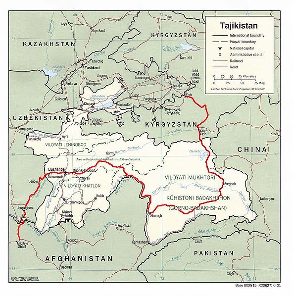
English: Map showing the route of the Pamir Highway through Afghanistan, Uzbekistan, Tajikistan, and Kyrgyzstan. |
| Date | |
| Source |
http://www.lib.utexas.edu/maps/tajikistan.html
|
| Author | Derived from CIA map by Bantman at en.wikipedia, transferred to Commons by User:Man77 using CommonsHelper. |
| Permission (Reusing this file) |
PD-USGOV; PD-AUTHOR. |
Licensing
This work is in the public domain in the United States because it is a work prepared by an officer or employee of the United States Government as part of that person’s official duties under the terms of Title 17, Chapter 1, Section 105 of the US Code.
Note: This only applies to original works of the Federal Government and not to the work of any individual U.S. state, territory, commonwealth, county, municipality, or any other subdivision. This template also does not apply to postage stamp designs published by the United States Postal Service since 1978. (See § 313.6(C)(1) of Compendium of U.S. Copyright Office Practices). It also does not apply to certain US coins; see The US Mint Terms of Use.
|
 | |
| This file has been identified as being free of known restrictions under copyright law, including all related and neighboring rights. | ||
| This work has been released into the public domain by its author, Bantman. This applies worldwide. In some countries this may not be legally possible; if so: Bantman grants anyone the right to use this work for any purpose, without any conditions, unless such conditions are required by law.
|
Original upload log
The original description page was here. All following user names refer to en.wikipedia.
- 2005-08-30 22:02 Bantman 1052×1066× (204866 bytes) Map showing the route of the Pamir Highway through Afghanistan, Tajikistan, and Kyrgyzstan. Derived by me from a CIA map located at the [[University_of_Texas_at_Austin#Facilities|Perry-Castañeda Library (PCL) of the University of Tex
File history
Click on a date/time to view the file as it appeared at that time.
| Date/Time | Thumbnail | Dimensions | User | Comment | |
|---|---|---|---|---|---|
| current | 15:36, 11 April 2009 | | 1,052 × 1,066 (200 KB) | File Upload Bot (Magnus Manske) | {{BotMoveToCommons|en.wikipedia|year={{subst:CURRENTYEAR}}|month={{subst:CURRENTMONTHNAME}}|day={{subst:CURRENTDAY}}}} {{Information |Description={{en|Map showing the route of the en:Pamir Highway through en:Afghanistan, en:Tajikistan, |
File usage
The following page uses this file: