| This article is a stub. This means that the information available to us is obviously insufficient. In these places little information is available or the description is severely outdated. If you have been there, whether hitchhiking, for travel or as part of an organized tour − be sure to extend this article! |
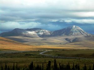
Dempster Highway (also known as Yukon Highway 5 or Northwest Territories Highway 8) is a highway that connects the Klondike Highway in the Yukon Territory of Canada to Inuvik, Northwest Territories on the Mackenzie River delta. During the winter months, the highway extends another 194 km (121 mi) to Tuktoyaktuk, on the northern coast of Canada, using frozen portions of the Mackenzie River delta as an ice road. The highway crosses the Peel River and the Mackenzie Rivers using a combination of seasonal ferry service and ice bridges.
Hitchhiking on Dempster
You can find rides easily on the Dempster intersection - the intersection of Alaska Highway and Dempster Highway. There is a service area right at this intersection. The service area has a restaurant and a gas station and most rides going north stop there. Just ask around, and somebody will offer you a ride. If you have to spend a night or two, there is a camping ground there too.
Dempster Highway is around a 750 km ride with just two major stops in between - Eagle Plains and Fort McPherson. Most rides are going all the way to either Inuvik or Fort McPherson. Many people also just head to Tombstone National Park. Either way, there are hardly any chances you will be left in the middle of nowhere. Just ask around where ever you are, and Dempster should be an easy path to hitchhike.
