File:Wasserbillig.jpg
Jump to navigation
Jump to search

Size of this preview: 800 × 600 pixels. Other resolutions: 320 × 240 pixels | 640 × 480 pixels | 1,024 × 768 pixels.
Original file (1,024 × 768 pixels, file size: 183 KB, MIME type: image/jpeg)
| Description |
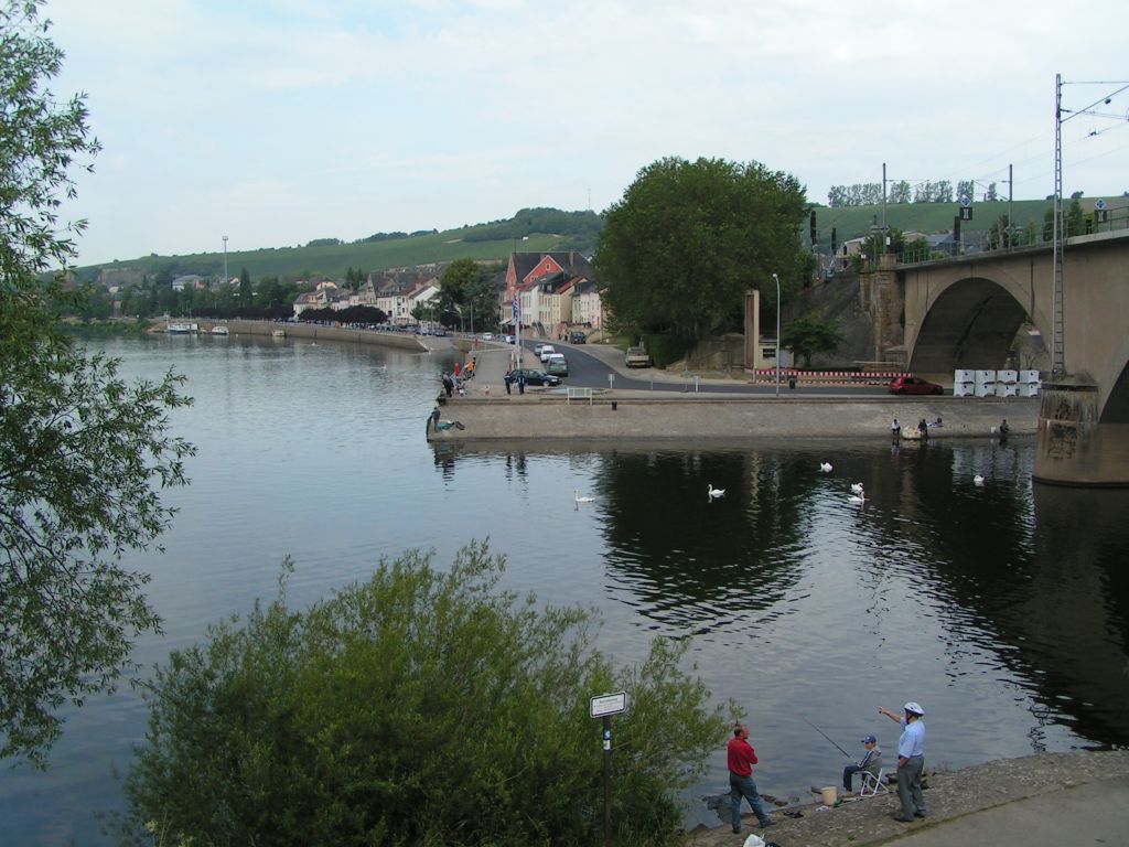
Deutsch: Mündung der Sauer in die Mosel zwischen Wasserbillig (Luxemburg) und Wasserbilligerbrück (Deutschland)
|
||||||||
| Date | |||||||||
| Source | Transferred from de.wikipedia to Commons. | ||||||||
| Author | The original uploader was Stefan Kühn at German Wikipedia. | ||||||||
| Permission (Reusing this file) |
Stefan Kühn at the German-language Wikipedia, the copyright holder of this work, hereby publishes it under the following license:
|

| Camera location | | View this and other nearby images on: OpenStreetMap |
|---|
Original upload log
The original description page was here. All following user names refer to de.wikipedia.
- 2004-06-28 06:44 Stefan Kühn 1024×768×8 (186961 bytes) Wasserbillig
File history
Click on a date/time to view the file as it appeared at that time.
| Date/Time | Thumbnail | Dimensions | User | Comment | |
|---|---|---|---|---|---|
| current | 16:22, 28 February 2007 | | 1,024 × 768 (183 KB) | Prankster | {{Information |Description=Wasserbillig Selbstfotografiert 27. 6. 2004 |Source=Originally from [http://de.wikipedia.org de.wikipedia]; description page is/was [http://de.wikipedia.org/w/index.php?title=Image%3AWasserbillig.jpg here]. |Date=2004-06-28 (or |
File usage
The following page uses this file: